A high-performance solution integrating the Livox Horizon laser scanner
 |
 |
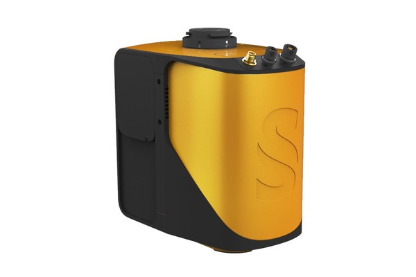
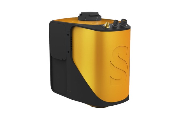
MONTPELLIER, France, Oct. 28, 2020 /PRNewswire/ — YellowScan, a global leader in UAV LiDAR solution, today launches its updated Mapper product offer. The YellowScan Mapper sets a new standard for LiDAR scanning by integrating Livox’s Horizon laser scanner into a solution benefiting from YellowScan’s years of experience. The disruptive pricing and high performance of the Horizon scanner allows YellowScan to offer an integrated solution that lives up to its high standard of technical capabilities and customer support, at a price point affordable to a larger base of professional users.
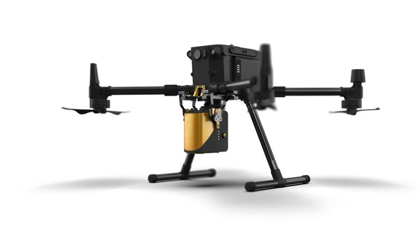
Unlike other YellowScan solutions, the YellowScan Mapper is a purely a aerial LiDAR solution that is ideally flown at 70m above ground level. It is designed to fit all DJI professional drones (M200, M210, M300, M600) and comes with an integrated camera module. YellowScan Mapper is ideal for general topography projects and is particularly suited for archaeology, forestry and post-disaster missions. The YellowScan Mapper seamlessly integrates with existing YellowScan’s software solutions, LiveStation and CloudStation, making it easy to remotely check data while the system is flying, and comprehensively post-process, visualize and export survey data.
"We wanted to upgrade our Mapper product by applying the learning and experience we gathered over the years. The Livox Horizon scanner showed impressive performance, and allowed us to offer a quality system at a price that makes it more accessible to a wider user base. Whether you purchase the Mapper or any of our other solutions, you will get the same level of training and support that YellowScan has come to be known for around the world", stated Tristan Allouis, YellowScan’s CTO.
YellowScan will be holding a Demo Day on November 26, 2020 and January 20, 2021. Register on our site to learn more about the YellowScan Mapper and the rest of our hardware and software offerings.
About YellowScan
At YellowScan we design, develop, and build our UAV LiDAR solutions to exceed the expectations of professionals requiring performance, robustness and accuracy. Our complete range of hardware and software solutions are compact, easy-to-use data collection tools, that come with an unparalleled level of training and support from our experts.
Founded in 2012, YellowScan has customers around the world that use its technology for surveying, forestry, environmental research, archaeology, industrial inspection, civil engineering and mining sectors. YellowScan is headquartered in France, with offices in the United States and Japan, along with sales and support teams around the globe.
For more information please visit www.yellowscan-lidar.com
Contact
Morgane Selve
Communication Manager
Direct Line: Tel: +33 (0)4 11 93 14 23
[email protected]
